Improving Road Conditions With AI
The majority of auto accidents are the result of poor judgments made by the drivers, such as speeding, failing to yield, and texting while driving. However, sometimes the driver is not to blame for an accident. Accidents caused by bad road conditions can harm drivers, passengers, and pedestrians. This is why we are seeing AI solutions appearing to help find cracks and other spots on the roads that need to be fixed. In this article, we will take a look at how AI can help improve road conditions and the data annotation needed to train it.
The Problem With Poor Road Conditions
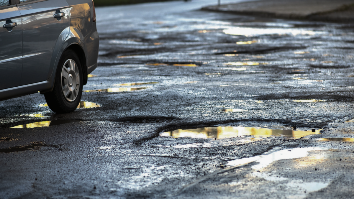
Beyond only a bumpy ride, bad road conditions might cause further problems. It is possible for roads to deteriorate to the point that they are unsafe. This includes road fractures, sinkholes, cracked concrete, uneven road surfaces, exposed rebar, and potholes. A huge pothole could shatter a tire, sending the car careening into another lane and into the path of another vehicle. A driver may lose control of their car due to uneven road surfaces, which could result in a crash or rollover accident that could injure the driver, passengers, and pedestrians.
This is why companies have created various AI solutions that can scan the road at a higher speed, allowing the responsible authorities to get the data more promptly, thereby increasing accuracy. Let’s take a look at how researchers are using AI to help fix this problem.
Using AI to Improve Road Conditions

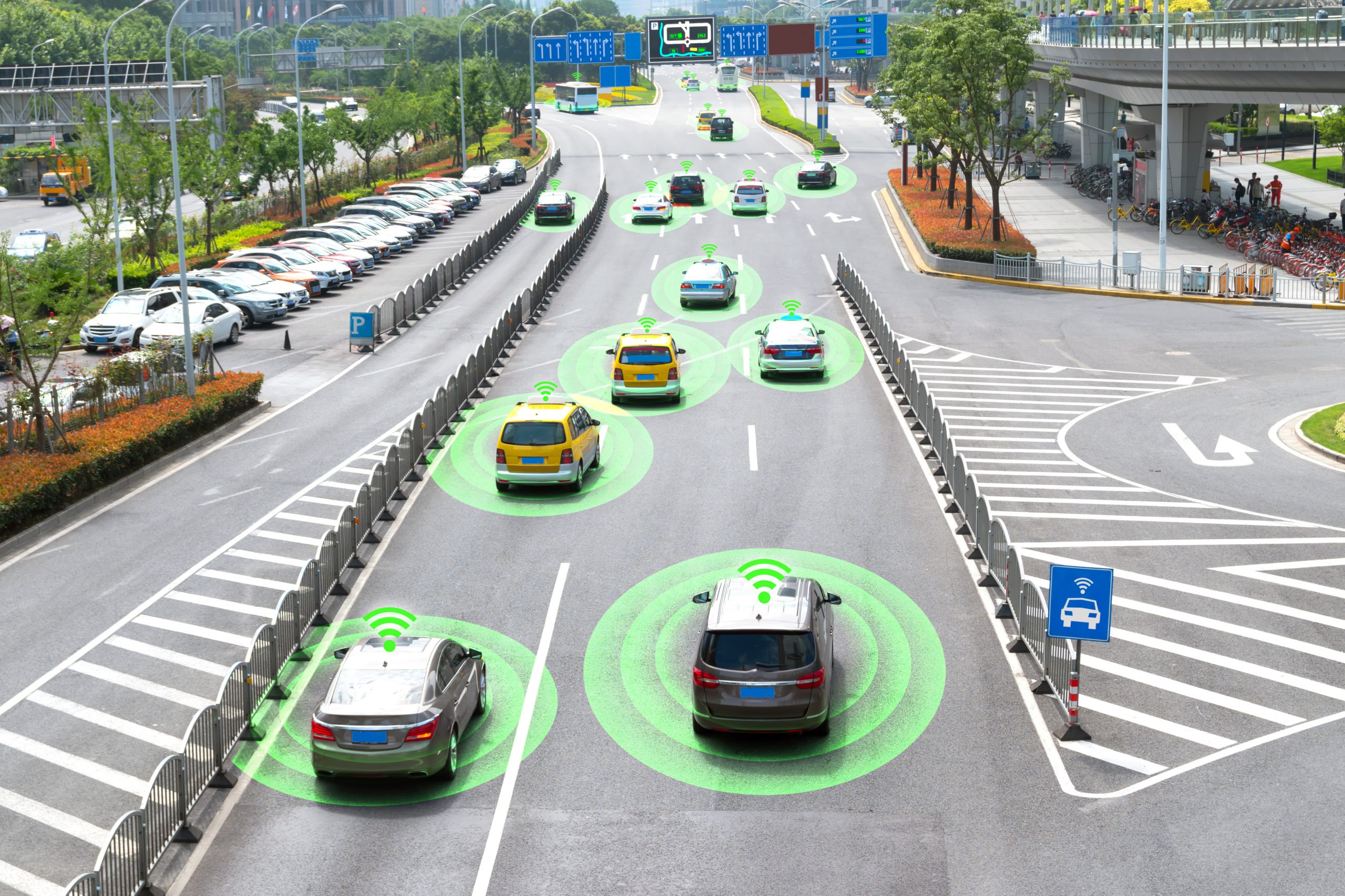
Researchers from the Department of Energy and Western Michigan University are working together to drive solutions from outside the car: sensors and processing embedded in road infrastructure. Engineers are placing low-powered sensors in the reflective raised pavement markers that are already used to help drivers identify lanes. The microchip inside the markers transmits information to passing cars about the road shape. Research shows that the markers are effective even when vehicle cameras or remote laser sensing called LiDAR are unreliable because of fog, snow, glare, or other obstructions.
Each road marker device contains a radio transceiver, antenna, battery, and microprocessor. Engineers used a communications technique that included hopping up to 50 times per second across a certain radio frequency range. Even if the drivable region is hidden from the vehicle’s vision, the algorithms created by the team triangulate among the GPS locations of lane markings to recreate an image of it. A pavement marker’s microchip contains one algorithm, while the software of the car contains a decoding algorithm.
More accurate information about the road environment is provided by the technology, which also transfers some of the processing duties from the car’s software to the infrastructure. According to studies, when compared to a leading camera and LiDAR-based autonomous driving technology, chip-enabled pavement markings can lower navigational power usage by up to 90%. This increases the driving range of electric vehicles, which encourages wider EV adoption.
What Types of Data Annotation are Needed to Train This Technology?

In order for the sensors to accurately identify all the cracks, potholes, and other damage on the road, it needs to be trained with accurate data where the ground truth dataset accurately represents the edges of the damaged road. The overall crack localization needs to be accurate to increase the severity classification accuracy. We mentioned earlier that the system uses LiDAR to gather information on its surroundings, but it’s also important to know that LiDAR creates a 3D Point Cloud, which is a digital representation of how the AI system views the physical world.
This 3D Point Cloud needs to be annotated with techniques like polyline annotation, which helps the system detect street lanes across roads on cities and highways. Polygon annotation is also necessary for object localization and detection algorithms to spot various types of damage. More advanced types of data annotation are usually needed for such projects as semantic segmentation, which categorizes each pixel in an image into a class or object. The goal is to produce a dense pixel-wise segmentation map of an image, where each pixel is assigned to a specific class or object.
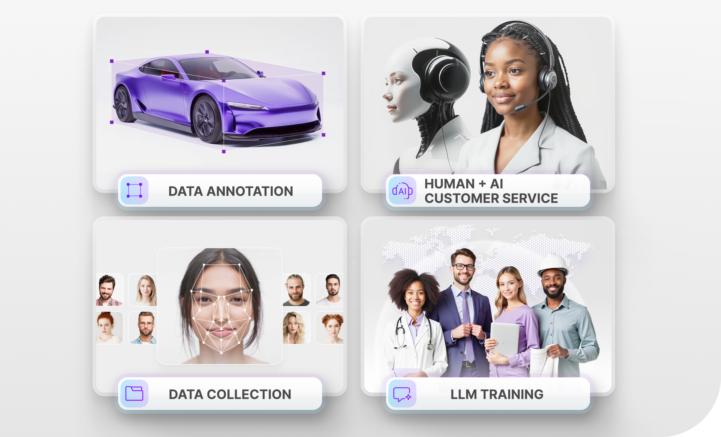
Trust Mindy Support With All of Your Data Annotation Needs
Mindy Support is a global provider of data annotation services and is trusted by Fortune 500 and GAFAM companies. With more than ten years of experience under our belt and offices and representatives in Cyprus, Poland, Romania, The Netherlands, India, OAE, and Ukraine, Mindy Support’s team now stands strong with 2000+ professionals helping companies with their most advanced data annotation challenges.