Innovative ways AI drones are being used across industries
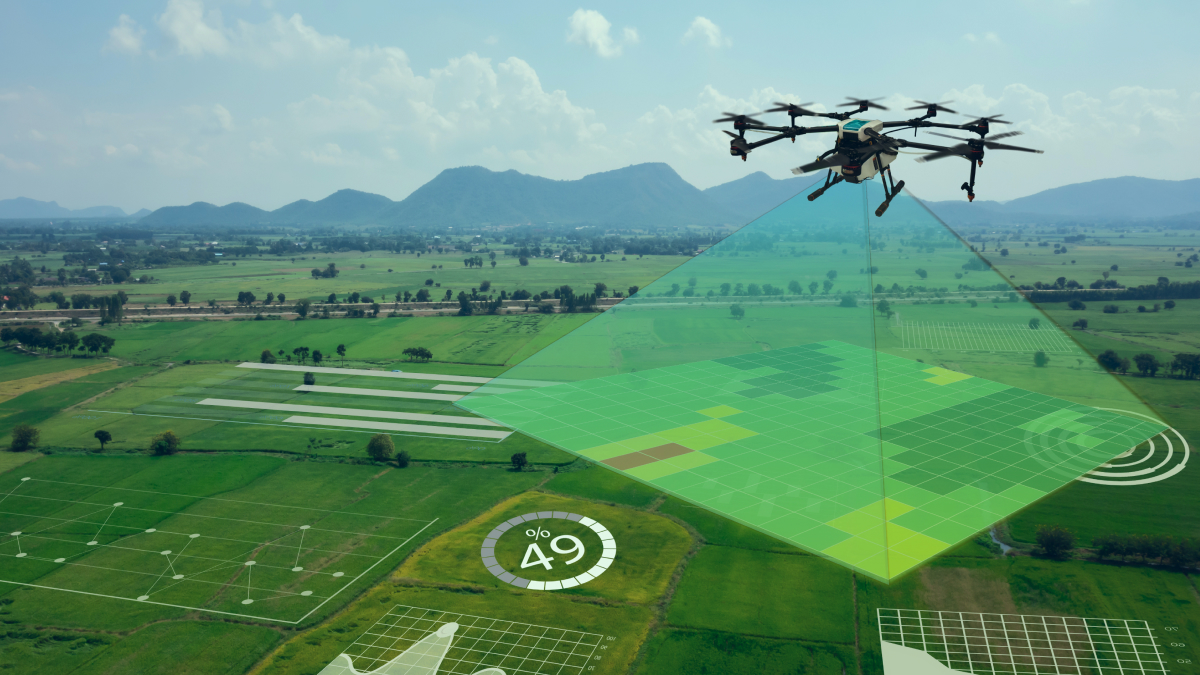
AI drones offer a lot of benefits to companies across industries. The technology uses live video feeds from drone cameras and interprets the information with accurate AI models. Applications for drone AI include everything from tracking farm animals to identifying vehicles, evaluating electrical lines, and finding leaks or flares in industrial settings. Compared to human workers, drone AI systems can monitor larger areas and more visual data – with dramatically greater speed and accuracy – for a fraction of the cost. In this article, we will take a closer look at some of the most interesting ways drones are being used in various industries as well as the data annotation necessary to train AI drones.
Increasing Crop Yield
One of the keys to all of this is remote sensing technology, which picks up radiation on the ground and can track everything from physical characteristics to the amount of heat an area is generating. The best agriculture mapping drones take this concept further with what’s called multispectral imaging. This means that they can capture light sensors, both visible and invisible, within a set range. Two key types of maps that can be created with this kind of agricultural drone include:
- RGB maps: A birds-eye view but even better, even a basic Red, Green Blue (RGB) map can offer fresh information. These maps allow you to see exactly how much land you have to grow on to the centimeter and assist with crop monitoring over an extended period of time, helping you adjust from season to season.
- NDVI maps: Normalized Difference Vegetation Index (NDVI) takes the insights of an RGB map one step further. The map shows the amount of infrared light reflected in an area, which is an indicator of malnourishment and drought. According to Go Intelligence, this kind of data collection can be used to spot problem crops as much as two weeks before physical signs emerge, making it an invaluable tool for farmers trying to accurately predict their yield rate.
Monitoring Illegal Construction
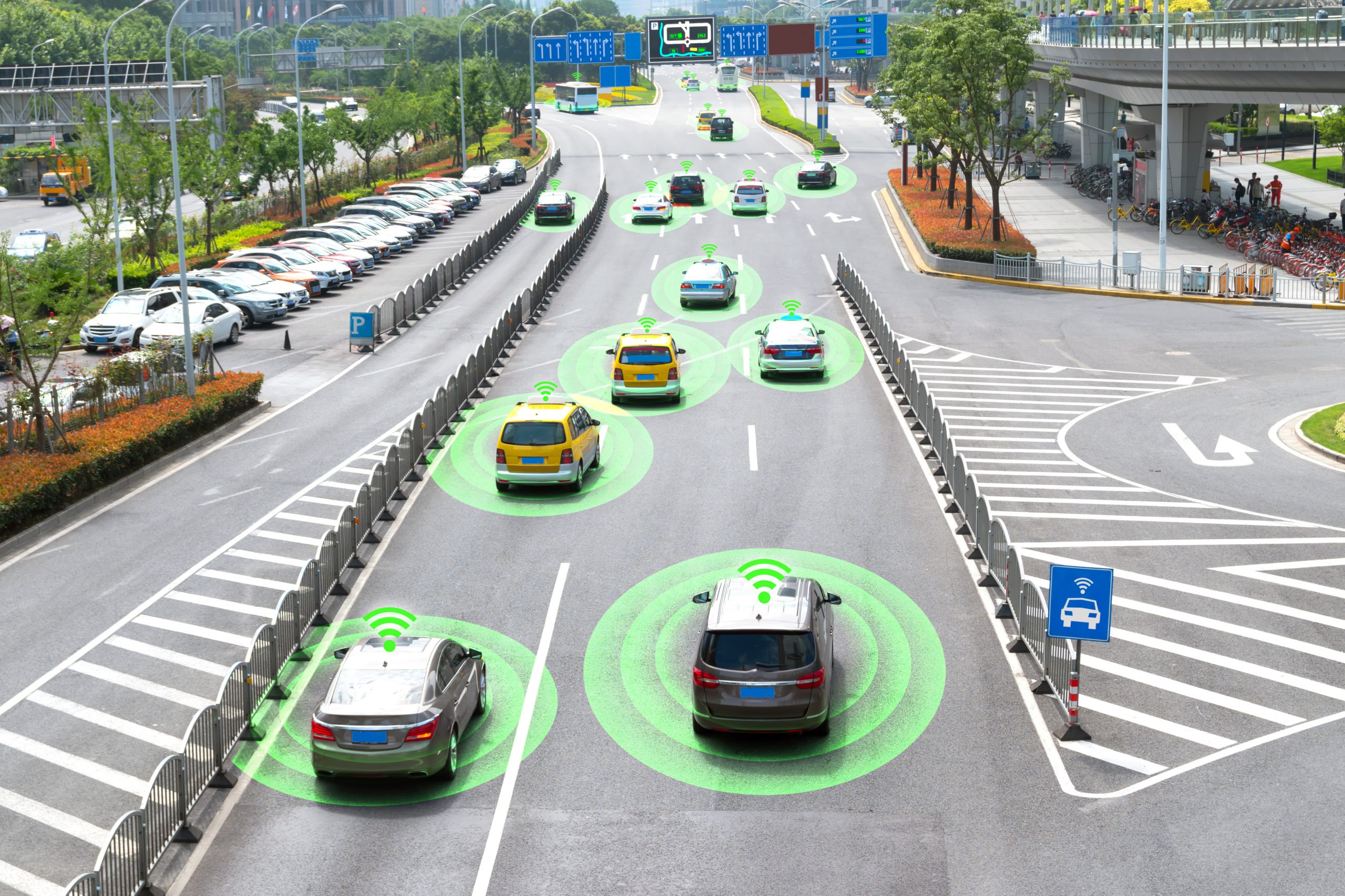
The construction of smart cities requires drone remote sensing technology to obtain surface data in a short period. Utilizing the precise and refined technical advantages of drones in urban planning, engineering environment, smart transportation, urban safety prevention, control, etc., can help the development of smart cities. As an example, let’s take a look at monitoring and preventing illegal construction. In the process of urban development, sometimes, illegal construction activities will occur. Manual inspection of illegal buildings requires a lot of HR and material resources, and there exist blind spots and lags. With the help of AI drones, high-resolution remote sensing images of the surveillance area and automatic identification results of illegal construction can be obtained in time. It quickly obtains information such as the location and shape of illegal buildings and provides the government with a strong basis for decision-making.
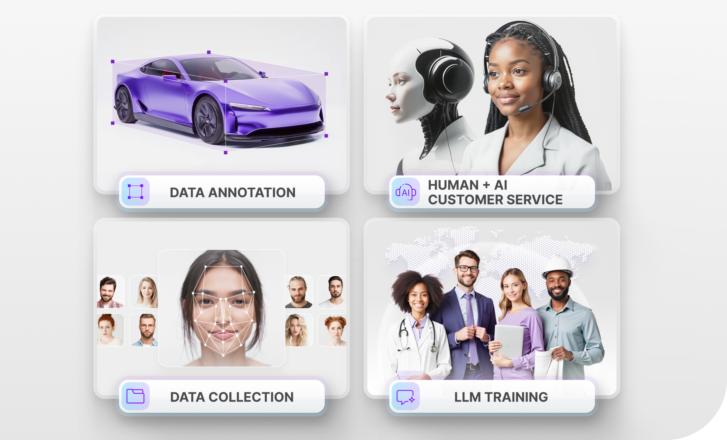
What Types of Data Annotation Techniques are Used to Train AI Drones?
The exact types of data annotation will depend on the specifications of each project and the capabilities the drone needs to have. If we take a look at the drone that helps increase crop yield, it needs to scan the entire field and identify all of the crops that are growing. This means that the training data will need to be annotated with methods such as labeling, where all of the crops are labeled accordingly. More detailed types of annotation, such as semantic segmentation, may also be necessary since it may be difficult to distinguish all of the crops from high altitudes.
As for the AI drone that detects illegal construction, it needs to identify the tell-tale signs of illegal construction. The way this works is that the drone obtains images and spatial distribution information for buildings through image processing, pattern recognition, and other methods. The results are then overlaid with planning map data that only experts can interpret, allowing managers to monitor current building information and identify unauthorized construction. What this means is that the data annotators will need to draw 2D/3D bounding boxes on all of the images if the roofs are perfectly square. For irregularly shaped roofs, they will need to contour them to train the ML algorithms.
Trust Mindy Support With All of Your Data Annotation Needs
Mindy Support is a global company for data annotation and business process outsourcing, trusted by several Fortune 500 and GAFAM companies, as well as innovative startups. With nine years of experience under our belt and offices and representatives in Cyprus, Poland, Romania, The Netherlands, India, and Ukraine, Mindy Support’s team now stands strong with 2000+ professionals helping companies with their most advanced data annotation challenges.
AI Drones in Industry: Frequently Asked Questions
What industries benefit the most from AI drones?
AI drones are highly beneficial in agriculture, construction, energy, and urban planning. They help monitor large areas, inspect infrastructure, and gather critical data with higher accuracy and speed than human workers.
How do AI drones increase crop yield?
AI drones use remote sensing and multispectral imaging to create detailed maps like RGB and NDVI maps. These maps help farmers monitor crop health, detect issues early, and optimize land use, leading to increased crop yields.
How do AI drones detect illegal construction?
AI drones capture high-resolution images and analyze spatial distribution data. By comparing these images with planning maps, they can identify unauthorized construction, providing real-time information to urban planners and government authorities.
What data annotation techniques are needed to train AI drones?
Data annotation techniques like labeling, semantic segmentation, and 2D/3D bounding boxes are essential for training AI drones. These techniques help the drones accurately identify and classify objects, whether they are crops, buildings, or vehicles.