How NASA and Google Use AI to Battle Deforestation
Scientists need to be able to keep track of Earth’s carbon levels and how they change over time but to do so, they need to monitor deforestation around the world. However, since it is not possible to count such a large number of trees, NASA is using supercomputers powered by AI to allow researchers to observe tree growth in regions all over the world. Let’s take a closer look at some of the technology that is making the world a lot greener and how data annotation plays a key role in their development.

How Does This Technology Work?
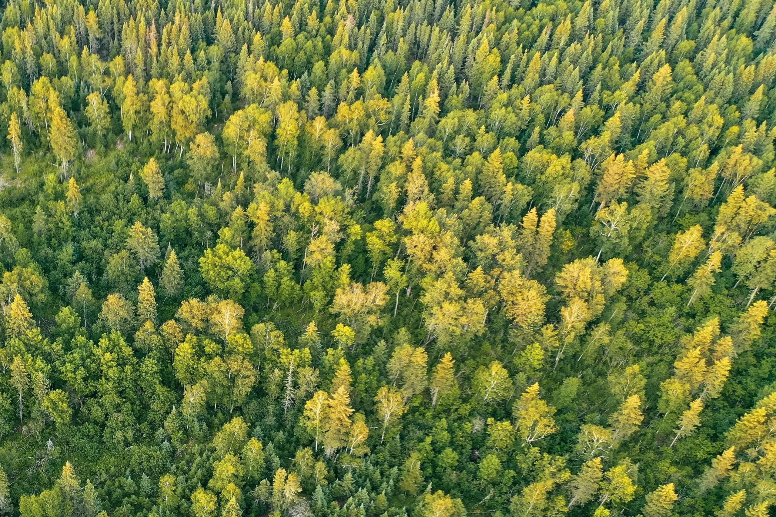
Researchers at NASA’s Goddard Space Flight Center partnered with an international team of researchers to map the trees using high-resolution satellite images which included more than 1.8 billion trees located outside forests over a half a million square mile radius. The AI supercomputer uses deep learning to analyze all of the terrains in the images which opened up new research opportunities since they could not count the trees that were unseen by satellites. Also, they were now able to observe the carbon storage potential of the trees as well. Such research is very important because, in the past, a lot of attention was focused on well-forested regions. Thanks to the AI supercomputer, they could now observe trees growing in West Africa and other dryland areas.
In order to correctly identify the objects in the images as trees, a dataset of images would need to be annotated by human data annotators either by labeling or drawing 2D bounding boxes around the trees. Also, since the supercomputer needs to compare the images from one year to another, the data set would need to be expanded to include those images and they would need to be annotated as well.
This particular project involved 90,000 images of trees and they were labeled by Martin Brandt, an assistant professor at the University of Copenhagen who also played a key part in the research. Even though researchers involved in this particular project decided to do the data annotation in-house, a lot of companies and research institutions choose to outsource such work to an outsourcing provider to do such work for them.
In addition to mapping out the crown diameter, which is the width of a tree when viewed from above, researchers were also able to compare the variability of tree coverage and density under all kinds of rainfall conditions. This information could be useful when comparing to future height and biomass data. Conservationists could use this technology to better track deforestation around the world since they will be in a better position to assess whether or not certain conservation methods are effective.
Google is Making Urban Neighborhoods Greener Using AI
While NASA’s project focused on battling deforestation in drylands, Google also recently launched its own green initiative called the Tree Canopy Lab. It also uses AI to analyze aerial imagery to help cities see their current forestation levels and plan future tree planting projects, starting with Los Angeles.
The reason this is so important is that trees are often viewed as a solution for lowering street temperatures and improving the overall quality of life. However, not every city has the capability to monitor their tree levels and identify where new tree-planting efforts are most needed. This new platform offers all kinds of insights such as what percentage of a neighborhood has a leafy cover, the population density of a particular area, and which areas could experience severe heat.
Even though Google’s Tree Canopy Lab focuses on residential areas, it still requires significant amounts of data annotation. Such projects would require polygonal annotation to identify well-forested areas such as parks, but also labeling to locate areas with very few trees which require more attention from local authorities.
Mindy Support Provides Comprehensive Data Annotation Services
The AI projects we mentioned above require extensive and highly detailed data annotation. Since this is a very time-consuming task, it would be better to outsource all of your data annotation needs to Mindy Support. We have a long and successful track record of actualizing data annotation projects of various sizes and complexities and can help you meet deadlines and keep your overall costs under control. We are one of the largest BPO providers in Eastern Europe with more than 2,000 employees in six locations all over Ukraine. Our size and location allow us to source and recruit candidates quickly to meet all of your data annotation needs.


